

With iOS 9, Apple finally has a mapping app worthy of removing from your “utilities” folder — but only if you live in certain cities.
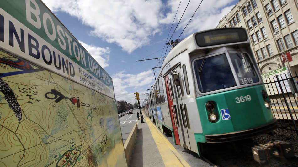
Where Google dominated Apple was in transit directions, which Apple only added in select cities with the launch of iOS 9. Now, Apple has added transit directions in the Boston area and Amtrak data for cities in the northeast, Macrumors reports.
Boston is the first city added to Apple Maps since its iOS 9 re-launch, with Sydney expected to be added next. Boston joins New York, London, Berlin, San Francisco and other cities in having transit directions in Apple Maps.
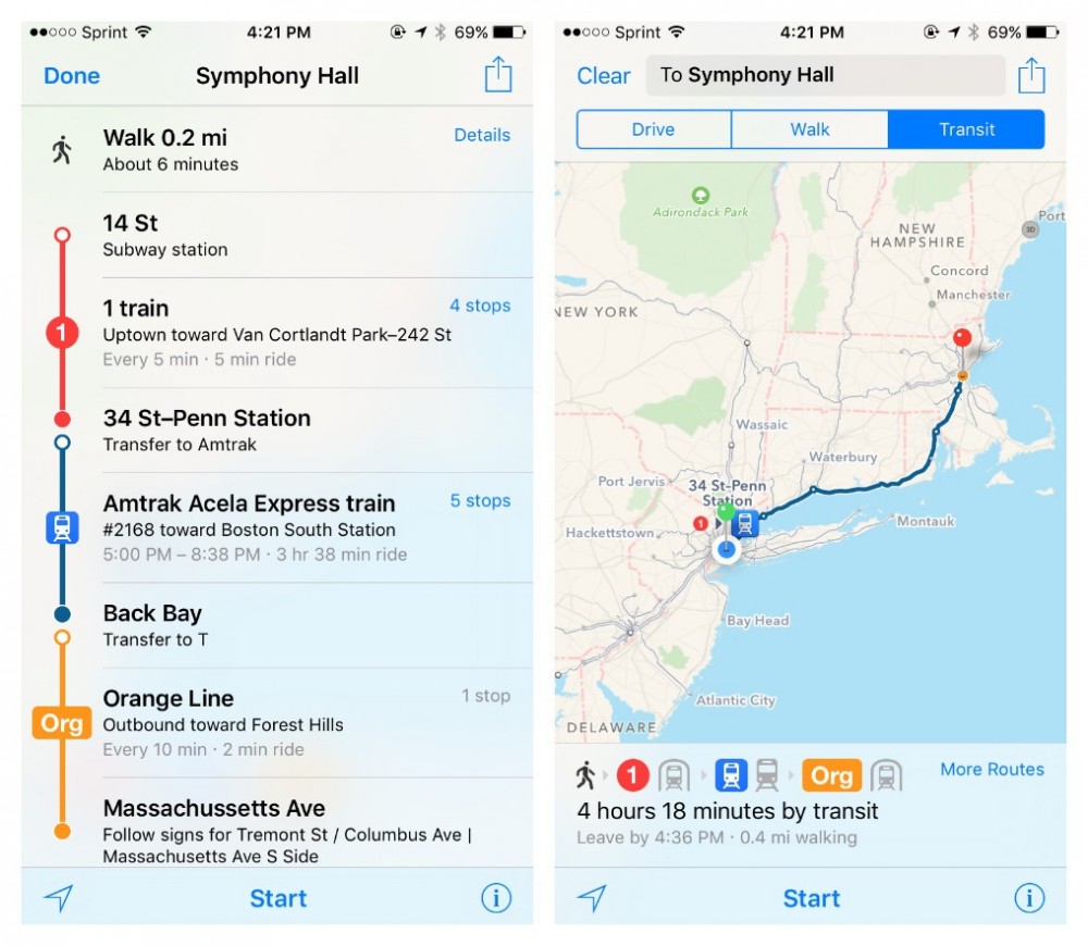
Apple also added Amtrak data for many of the cities it offers transit data for, which arguably isn’t as useful as subway directions, but it at least brings Apple’s maps closer to parity with Google. Since its disastrous 2012 launch, Apple has released incremental improvements to Maps, though it still lags behind Google in many ways.
Since making Apple Maps the default mapping app for iOS devices, Apple has had to collect its own mapping data, instead of relying on the extensive data Google had amassed. It acquired transit app HopStop in 2013, then shut it down in September of this year as transit directions became available in iOS 9.
These are steps in the right direction, but Apple has a long way to go before it can match Google. At the time of publication, transit directions were only available in 11 cities plus China. Other than Sydney, Apple has not announced any other cities it plans to launch transit directions.